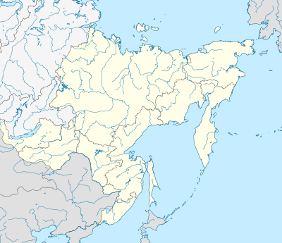
模板:Location map Russia Far Eastern Federal District
外观
| 名称 | 远东联邦管区 | ||
|---|---|---|---|
| x | 50 + 143.2394488 * (1.623081485 - ({{{2}}} * 3.14159265358979 /180)) * sin(0.864926629 * ({{{3}}} + ({{{3}}}<0)*360 - 140) *3.14159265358979 / 180)*0.862 | ||
| y | 50 - 143.2394488 * (0.575883933 - (1.623081485 - ({{{2}}}*3.14159265358979 / 180)) * cos(0.864926629 * ({{{3}}} + ({{{3}}}<0)*360 - 140) * 3.14159265358979 / 180)) | ||
| 图像 | Outline Map of Far Eastern Federal District.svg | ||

| |||
| 附加图像㈠ | Relief Map of Far Eastern Federal District.jpg | ||

| |||
