
File:Australia Locator Blank.svg

此 SVG 檔案的 PNG 預覽的大小:290 × 262 像素。 其他解析度:266 × 240 像素 | 531 × 480 像素 | 850 × 768 像素 | 1,133 × 1,024 像素 | 2,267 × 2,048 像素。
原始檔案 (SVG 檔案,表面大小:290 × 262 像素,檔案大小:126 KB)
摘要
| 描述 |
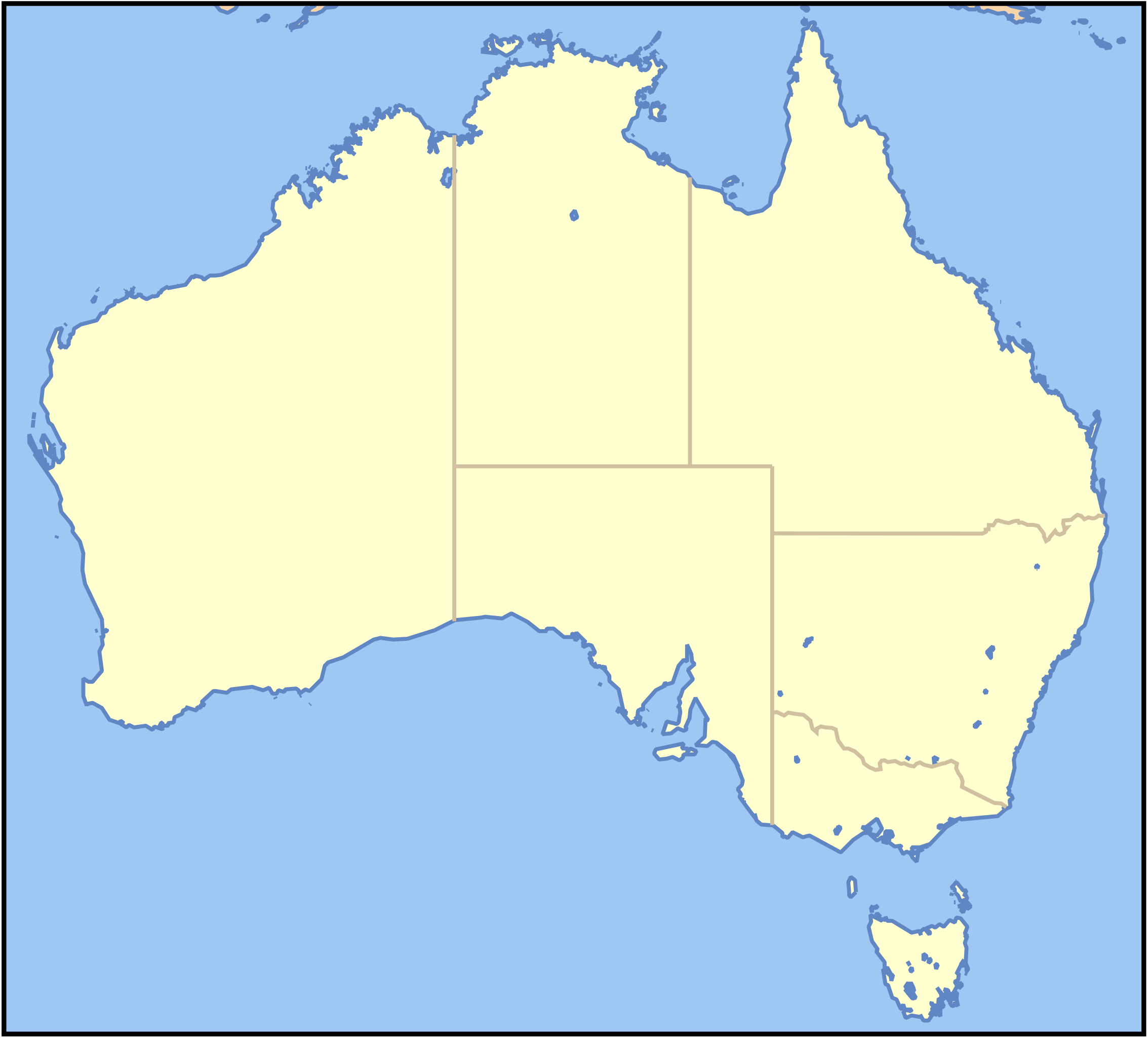
This map image was created by Wikipedia user Papayoung, based on the public-domain data available through the Map-It interface. Please note: This image is intended for use as a base map for a locator image; if you change or replace it in a way that moves its geographic features, images superimposed on it at specific locations will no longer be accurate. Please be careful. Thank you.
Grid to use to find position for a locator map: en:Image:Australia grid.png, en:Image:Australia grid2.png |
| 日期 | 2005年10月31日 (原始上傳日期) |
| 來源 | Transferred from en.wikipedia to Commons. |
| 作者 | Later versions were uploaded by Wereon at en.wikipedia. |
授權條款
| 此檔案採用創用CC 姓名標示-相同方式分享 3.0 未在地化版本授權條款。 受免責聲明的約束。 | ||
| ||
| 已新增授權條款標題至此檔案,作為GFDL授權更新的一部份。 |

|
已授權您依據自由軟體基金會發行的無固定段落、封面文字和封底文字GNU自由文件授權條款1.2版或任意後續版本,對本檔進行複製、傳播和/或修改。該協議的副本列在GNU自由文件授權條款中。 受免責聲明的約束。 |
原始上傳日誌
The original description page was here. All following user names refer to en.wikipedia.
- 2007-03-13 01:34 Wereon 290×262×0 (128952 bytes) rm artefacts
- 2005-10-31 03:30 Papayoung 290×262×0 (102267 bytes) This map image was created by Wipedia user [[User:Papayoung|Papayoung]], based on the public-domain data available through the [http://stellwagen.er.usgs.gov/mapit/ Map-It] interface.
檔案歷史
點選日期/時間以檢視該時間的檔案版本。
| 日期/時間 | 縮圖 | 尺寸 | 使用者 | 備註 | |
|---|---|---|---|---|---|
| 目前 | 2007年9月12日 (三) 09:11 | | 290 × 262(126 KB) | Obersachse | {{Information |Description=This map image was created by Wikipedia user Papayoung, based on the public-domain data available through the [http://stellwagen.er.usgs.gov/mapit/ Map-It] interface. <div style="border: 1px solid #F66; |
檔案用途
下列頁面有用到此檔案:
全域檔案使用狀況
以下其他 wiki 使用了這個檔案:
- de.wikipedia.org 的使用狀況
- en.wikipedia.org 的使用狀況
- Australian Aboriginal religion and mythology
- User:Hellboy1975
- User:Dhart
- Guugu Yimithirr people
- Guugu Yimithirr language
- User:Fipe
- User:MichelleG
- User:Tirin
- User:Evan C
- User:Adamm
- User:Postglock
- User:Cerberus584
- User:Ntddevsys
- Murrinh-Patha
- User:Sagitox
- User:Bduke
- User:Diceman/Sandbox2
- User:Stephen.frede
- User:Peter Campbell
- User:John D. Croft
- User:Galilite
- User:Bdude/Template:User AU res
- User:Ianiceboy
- User:Woldo
- User:Kelly holden
- User:CoolerThanFridge
- User:Joshtam~enwiki
- User:Sumo Sniper
- User:Kadesu
- User:Bdude/Userboxes
- User:Rchan89
- User:Supaluminal
- User:Twistie.man
- User:KSHuntley
- User:Webaware
- User:Lakeyboy
- User talk:Bdude/Template:User AU res
- User:Esperant/Template:User AU res
- User:Charles worland
- User:Claire789987
- User:Storeye
- User:Alex695
- User:Buckley002
- User:AndrewRaphael
- User:Jjron
- User:RobBrisbane
- User:Will Blake
- User:Alice Lee
- Wikipedia:Australian Wikipedians' notice board/Archive 19
檢視此檔案的更多全域使用狀況。