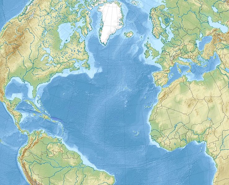
File:North Atlantic Ocean laea relief location map.jpg
外觀

預覽大小:739 × 599 像素。 其他解析度:296 × 240 像素 | 592 × 480 像素 | 947 × 768 像素 | 1,181 × 958 像素。
原始檔案 (1,181 × 958 像素,檔案大小:1.13 MB,MIME 類型:image/jpeg)
檔案歷史
點選日期/時間以檢視該時間的檔案版本。
| 日期/時間 | 縮圖 | 尺寸 | 用戶 | 備註 | |
|---|---|---|---|---|---|
| 目前 | 2010年12月4日 (六) 11:20 |  | 1,181 × 958(1.13 MB) | Uwe Dedering | {{Information |Description={{en|1= Relief location map of North_Atlantic_Ocean. * Projection: Lambert azimuthal equal-area projection. * Area of interest: :* N: 80.0° N :* S: -10.0° N :* W: -90.0° E :* E: 20.0° E * Projection center: :* NS: 35.0° N : |
檔案用途
下列5個頁面有用到此檔案:
全域檔案使用狀況
以下其他 wiki 使用了這個檔案:
- ar.wikipedia.org 的使用狀況
- ast.wikipedia.org 的使用狀況
- az.wikipedia.org 的使用狀況
- be-tarask.wikipedia.org 的使用狀況
- be.wikipedia.org 的使用狀況
- ceb.wikipedia.org 的使用狀況
- ce.wikipedia.org 的使用狀況
- ckb.wikipedia.org 的使用狀況
- de.wikipedia.org 的使用狀況
- el.wikipedia.org 的使用狀況
- en.wikipedia.org 的使用狀況
- Strait of Gibraltar
- Panama City
- Eglin Air Force Base
- Tyndall Air Force Base
- McGuire Air Force Base
- Beerenberg
- Glorious First of June
- Bogotá
- Ilulissat
- Naval Air Station Joint Reserve Base Willow Grove
- Paradise Island
- HX convoys
- Gulf of Maine
- Hamilton, Bermuda
- Hurlburt Field
- Abaco Islands
- RAF Mildenhall
檢視此檔案的更多全域使用狀況。


