
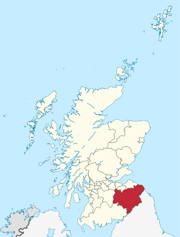
File:Scottish Borders in Scotland.svg

此 SVG 檔案的 PNG 預覽的大小:456 × 600 像素。 其他解析度:182 × 240 像素 | 365 × 480 像素 | 584 × 768 像素 | 779 × 1,024 像素 | 1,558 × 2,048 像素 | 1,128 × 1,483 像素。
原始檔案 (SVG 檔案,表面大小:1,128 × 1,483 像素,檔案大小:1.57 MB)
摘要
.svg)
.svg)
.svg)
.svg)
.svg)
.svg)
.svg)

-en.svg)

.svg)
.svg)
.svg)

_(US48).svg)
_(small_islands_magnified)_(-mini_map_-rivers).svg)
.svg)
_(extra_close)_(US48).svg)
.svg)
_(zoom).svg)

.svg)


_(UNMIK).svg)
.svg)
_(disputed_hatched).svg)
_(claimed_and_disputed_hatched).svg)
.svg)
.svg)
_(%2Ball_claims_hatched).svg)

.svg)
_(shade).svg)
_(shade)_(special_marker).svg)
_(-mini_map).svg)
_(-mini_map).svg)
_(-mini_map).svg)


.svg)

.svg)
授權條款
我,本作品的著作權持有者,決定用以下授權條款發佈本作品:

|
已授權您依據自由軟體基金會發行的無固定段落、封面文字和封底文字GNU自由文件授權條款1.2版或任意後續版本,對本檔進行複製、傳播和/或修改。該協議的副本列在GNU自由文件授權條款中。 |
此檔案採用創用CC 姓名標示-相同方式分享 3.0 未在地化版本授權條款。
- 您可以自由:
- 分享 – 複製、發佈和傳播本作品
- 重新修改 – 創作演繹作品
- 惟需遵照下列條件:
- 姓名標示 – 您必須指名出正確的製作者,和提供授權條款的連結,以及表示是否有對內容上做出變更。您可以用任何合理的方式來行動,但不得以任何方式表明授權條款是對您許可或是由您所使用。
- 相同方式分享 – 若要根據本素材進行再混合、轉換或創作,則必須以與原作相同或相容的授權來發布您的作品。
您可以選擇您需要的授權條款。

|
如果在維基百科或共享資源之外使用,您將此媒體檔案歸於維基共享資源,我將不勝感激。要在書籍、報紙、博客、網站等出版物中使用,請插入這以下行:
|
檔案歷史
點選日期/時間以檢視該時間的檔案版本。
| 日期/時間 | 縮圖 | 尺寸 | 使用者 | 備註 | |
|---|---|---|---|---|---|
| 目前 | 2011年9月8日 (四) 13:07 | | 1,128 × 1,483(1.57 MB) | TUBS |
檔案用途
下列頁面有用到此檔案:
全域檔案使用狀況
以下其他 wiki 使用了這個檔案:
- cs.wikipedia.org 的使用狀況
- da.wikipedia.org 的使用狀況
- de.wikipedia.org 的使用狀況
- en.wikipedia.org 的使用狀況
- Peatrig Hill
- Hawkshaw, Scottish Borders
- Roxburgh, Ettrick and Lauderdale
- Newtown St Boswells
- Blyth Bridge
- Eildon
- Ettrick, Scotland
- Ettrick Water
- Leithen Water
- Blackadder Water
- Blackadder, Scottish Borders
- Philiphaugh
- Halidon Hill
- Lake of the Hirsel
- Dryburgh
- Windy Gyle
- Heriot, Scottish Borders
- Kilbucho
- Broughton, Scottish Borders
- Gala Water
- Stow of Wedale
- Reston, Scottish Borders
- St. Abbs and Eyemouth Voluntary Marine Reserve
- Scott's View
- Caerlanrig
- Nisbet, Scottish Borders
- Greycrook
- Falahill
- Talla Reservoir
- Template:Borders-geo-stub
- Bemersyde House
- Whitsome
- Kershope Burn
- Wilton Dean
- Oxnam
- Ettrickbridge
- Falnash
- Fogo Priory
- Houndslow
- Eden Water
- Ashkirk
- Teviothead
- Town Yetholm
- Belses
- Peel Fell
- Lyne Water
- Yetholm
檢視此檔案的更多全域使用狀況。