
File:Shieli District Kazakhstan.png

本预览的尺寸:800 × 512像素。 其他分辨率:320 × 205像素 | 640 × 410像素 | 1,024 × 656像素 | 1,280 × 819像素 | 1,601 × 1,025像素。
原始文件 (1,601 × 1,025像素,文件大小:93 KB,MIME类型:image/png)
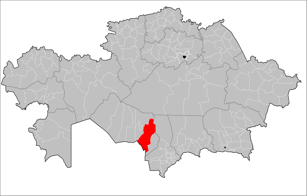
| 描述 | Map of the rayons of Kazakhstan. Created by Rarelibra 16:49, 3 August 2007 (UTC) for public domain use, using MapInfo Professional v8.5 and various mapping resources. |
| 日期 | (UTC) |
| 来源 | |
| 作者 |
|
| 这是一张修改过的图片,这意味着它已在原版本的基础上通过软件进行了编辑。其原始版本为:Kazakhstan rayons.png。
|
我,本作品著作权人,特此采用以下许可协议发表本作品:
| 我,本作品著作权人,释出本作品至公有领域。这适用于全世界。 在一些国家这可能不合法;如果是这样的话,那么: 我无条件地授予任何人以任何目的使用本作品的权利,除非这些条件是法律规定所必需的。 |
原始上传日志
This image is a derivative work of the following images:
- File:Kazakhstan_rayons.png licensed with PD-self
- 2007-08-03T16:49:43Z Rarelibra 1601x1025 (56761 Bytes) Map of the rayons of Kazakhstan. Created by ~~~~ for public domain use, using MapInfo Professional v8.5 and various mapping resources.
Uploaded with derivativeFX
文件历史
点击某个日期/时间查看对应时刻的文件。
| 日期/时间 | 缩略图 | 大小 | 用户 | 备注 | |
|---|---|---|---|---|---|
| 当前 | 2011年9月4日 (日) 12:51 | | 1,601 × 1,025(93 KB) | Sibom | up |
| 2009年8月17日 (一) 16:03 |  | 1,601 × 1,025(54 KB) | Vipera | {{Information |Description=Map of the rayons of Kazakhstan. Created by Rarelibra 16:49, 3 August 2007 (UTC) for public domain use, using MapInfo Professional v8.5 and various mapping resources. |Source=*File:Kazakhstan_rayons.png |
文件用途
以下页面使用本文件:
全域文件用途
以下其他wiki使用此文件:
- be.wikipedia.org上的用途
- bg.wikipedia.org上的用途
- el.wikipedia.org上的用途
- en.wikipedia.org上的用途
- fa.wikipedia.org上的用途
- fr.wikipedia.org上的用途
- it.wikipedia.org上的用途
- kk.wikipedia.org上的用途
- ru.wikipedia.org上的用途
- tr.wikipedia.org上的用途
- uk.wikipedia.org上的用途
- www.wikidata.org上的用途