
File:West Midlands UK relief location map.jpg

本预览的尺寸:800 × 547像素。 其他分辨率:320 × 219像素 | 640 × 437像素 | 1,024 × 700像素 | 1,280 × 875像素 | 1,999 × 1,366像素。
原始文件 (1,999 × 1,366像素,文件大小:286 KB,MIME类型:image/jpeg)
| 描述 |
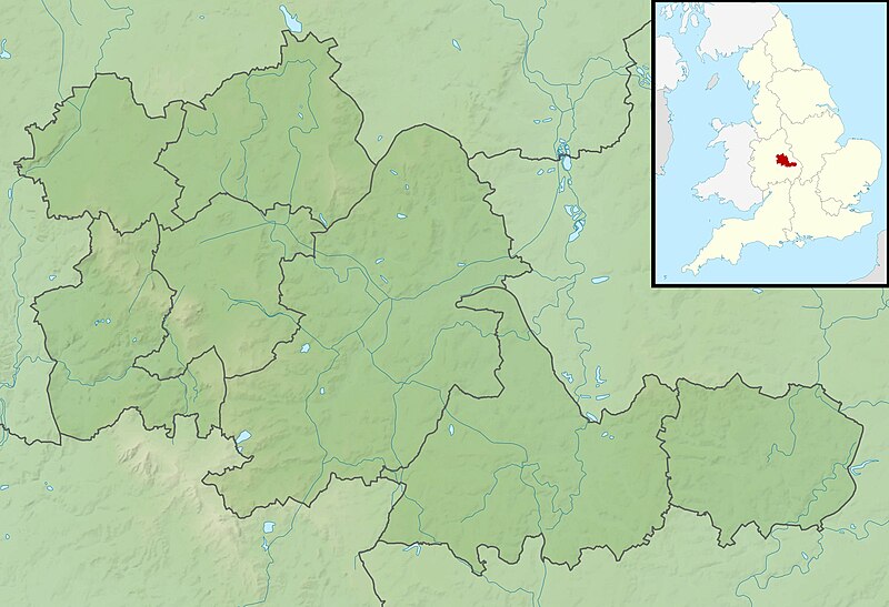
Relief map of the West Midlands, UK. Equirectangular map projection on WGS 84 datum, with N/S stretched 160% Geographic limits:
|
| 日期 | |
| 来源 |
|
| 作者 | Nilfanion, created using Ordnance Survey data |
| 授权 (二次使用本文件) |
本文件采用知识共享署名-相同方式共享 3.0 未本地化版本许可协议授权。 署名: Contains Ordnance Survey data © Crown copyright and database right
|
| 其他版本 | File:West Midlands UK district map (blank).svg - Blank map |
.svg)
文件历史
点击某个日期/时间查看对应时刻的文件。
| 日期/时间 | 缩略图 | 大小 | 用户 | 备注 | |
|---|---|---|---|---|---|
| 当前 | 2011年11月29日 (二) 02:00 | | 1,999 × 1,366(286 KB) | Nilfanion | {{Information |Description=Relief map of the West Midlands, UK. Equirectangular map projection on WGS 84 datum, with N/S stretched 160% Geographic limits: *West: 2.22W *East: 1.40W *North: 52.68N *South: 52.33N |Source=[[w:O |
文件用途
以下页面使用本文件:
全域文件用途
以下其他wiki使用此文件:
- ar.wikipedia.org上的用途
- bg.wikipedia.org上的用途
- ceb.wikipedia.org上的用途
- en.wikipedia.org上的用途
- Bartley Reservoir
- Witton Lakes
- Brookvale Park Lake
- Netherton Reservoir
- Edgbaston Reservoir
- Olton Reservoir
- Perry Barr Reservoir
- Lifford Reservoir
- Wychall Reservoir
- Frankley Reservoir
- Shard End Lake
- Babbs Mill Lake
- Turners Hill, West Midlands
- Module:Location map/data/United Kingdom West Midlands/doc
- Piccadilly Medal
- W.D. & H.O. Wills Tournament
- Edgbaston Pool
- 21 Yateley Road, Edgbaston
- Battle of Camp Hill
- Severn Street Synagogue
- Battle of Kings Norton
- Aston Reservoir
- Barr Beacon Reservoir
- True Temper Foursomes Tournament
- Coventry Jewish Reform Community
- Battle of Stourbridge Heath
- Module:Location map/data/United Kingdom West Midlands
- Module:Location map/data/West Midlands
- The Homestead, Edgbaston
- es.wikipedia.org上的用途
- fr.wikipedia.org上的用途
- hi.wikipedia.org上的用途
- id.wikipedia.org上的用途
- ja.wikipedia.org上的用途
- kn.wikipedia.org上的用途
- mk.wikipedia.org上的用途
- nl.wikipedia.org上的用途
查看此文件的更多全域用途。