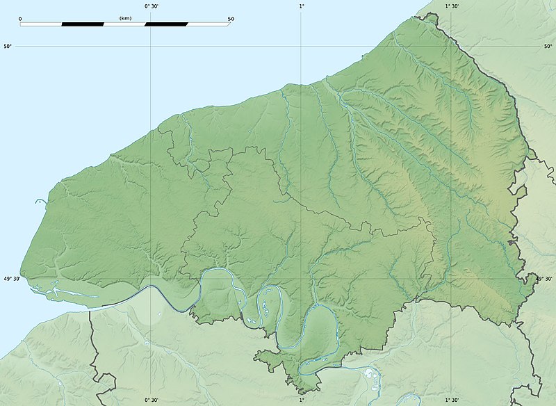
File:Seine-Maritime department relief location map.jpg
外观

本预览的尺寸:800 × 584像素。 其他分辨率:320 × 234像素 | 640 × 467像素 | 1,024 × 748像素 | 1,331 × 972像素。
原始文件 (1,331 × 972像素,文件大小:211 KB,MIME类型:image/jpeg)
文件历史
点击某个日期/时间查看对应时刻的文件。
| 日期/时间 | 缩略图 | 大小 | 用户 | 备注 | |
|---|---|---|---|---|---|
| 当前 | 2010年7月18日 (日) 21:18 |  | 1,331 × 972(211 KB) | Sting | Color profile |
| 2010年6月30日 (三) 17:31 |  | 1,331 × 972(218 KB) | Sting | == {{int:filedesc}} == {{Location|49|39|45|N|00|55|30|E|scale:400000}} <br/> {{Information |Description={{en|Blank physical map of the department of Seine-Maritime, France, for geo-locati |
文件用途
以下页面使用本文件:
全域文件用途
以下其他wiki使用此文件:
- als.wikipedia.org上的用途
- cs.wikipedia.org上的用途
- de.wikipedia.org上的用途
- de.wikivoyage.org上的用途
- en.wikipedia.org上的用途
- eo.wikipedia.org上的用途
- Havro
- Rueno
- Fécamp
- Dieppe
- Le Grand-Quevilly
- Forges-les-Eaux
- Saint-Saëns
- Kverko de Allouville
- Clères
- Ŝablono:Situo sur mapo Francio Seine-Maritime
- Tram-metroo de Rouen
- Lillebonne
- Saint-Étienne-du-Rouvray
- Le Tréport
- Yvetot
- Rolleville
- Montivilliers
- Saint-Aubin-lès-Elbeuf
- Elbeuf
- Oissel
- Serqueux (Seine-Maritime)
- Bréauté
- Beuzeville-la-Grenier
- Sotteville-lès-Rouen
- Varengeville-sur-Mer
- Sainte-Marguerite-sur-Mer
- Aumale (Seine-Maritime)
- Eu (Seine-Maritime)
- Amfreville-la-Mi-Voie
- Arques-la-Bataille
- Aubermesnil-Beaumais
- Belbeuf
- Bihorel
- Bois-Guillaume
- Bonsecours (Seine-Maritime)
- La Bouille
查看此文件的更多全域用途。


