
File:Map of Ohio highlighting Montgomery County.svg

此SVG文件的PNG预览的大小:552 × 600像素。 其他分辨率:221 × 240像素 | 442 × 480像素 | 707 × 768像素 | 942 × 1,024像素 | 1,885 × 2,048像素 | 1,050 × 1,141像素。
原始文件 (SVG文件,尺寸为1,050 × 1,141像素,文件大小:37 KB)
摘要
| 描述 |
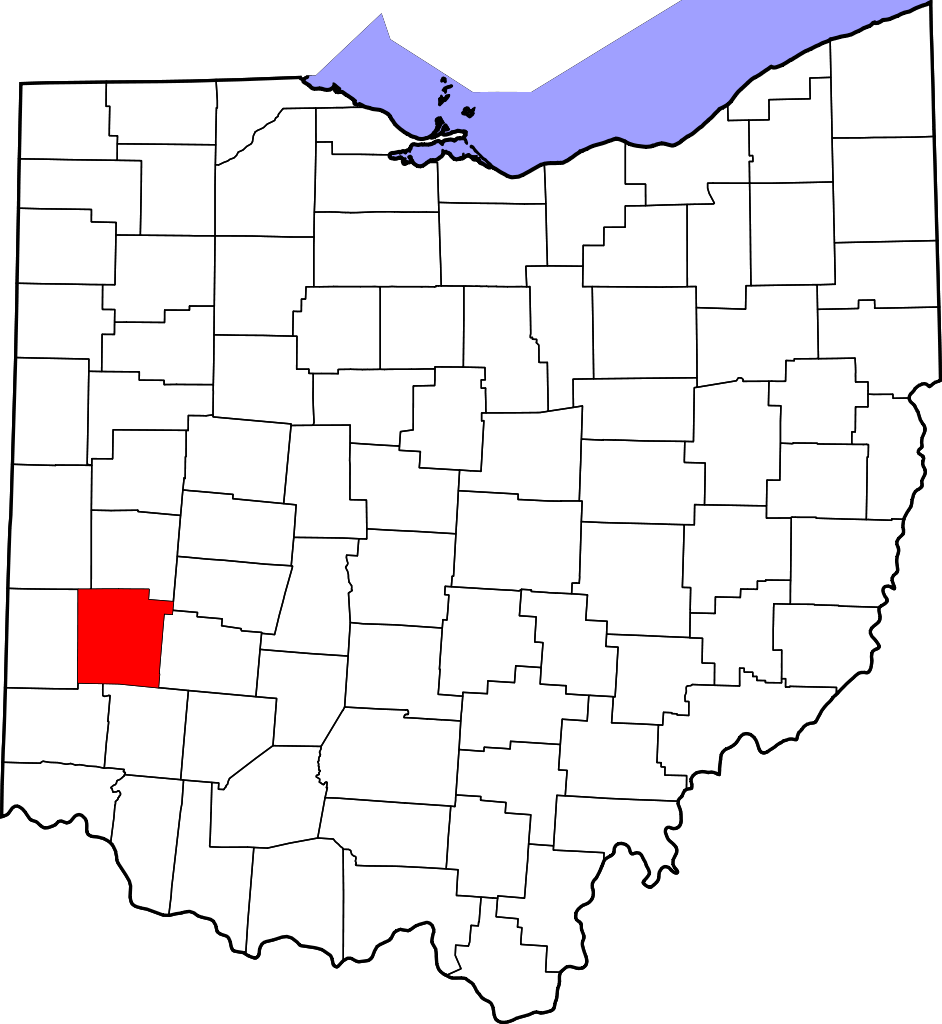
English: This is a locator map showing Montgomery County in Ohio. For more information, see Commons:United States county locator maps. |
| 日期 | |
| 来源 |
自己的作品: English: The maps use data from nationalatlas.gov, specifically countyp020.tar.gz on the Raw Data Download page. The maps also use state outline data from statesp020.tar.gz. The Florida maps use hydrogm020.tar.gz to display Lake Okeechobee. |
| 作者 | David Benbennick |
许可协议
| 我,本作品著作权人,释出本作品至公有领域。这适用于全世界。 在一些国家这可能不合法;如果是这样的话,那么: 我无条件地授予任何人以任何目的使用本作品的权利,除非这些条件是法律规定所必需的。 |
文件历史
点击某个日期/时间查看对应时刻的文件。
| 日期/时间 | 缩略图 | 大小 | 用户 | 备注 | |
|---|---|---|---|---|---|
| 当前 | 2024年6月25日 (二) 01:41 | | 1,050 × 1,141(37 KB) | Nux | fix rendering (remove clipping) |
| 2006年2月12日 (日) 16:10 |  | 3,675 × 3,995(58 KB) | David Benbennick | {{subst:User:Dbenbenn/clm|county=Montgomery County|state=Ohio|type=county}} |
文件用途
以下2个页面使用本文件:
全域文件用途
以下其他wiki使用此文件:
- ar.wikipedia.org上的用途
- azb.wikipedia.org上的用途
- bg.wikipedia.org上的用途
- bpy.wikipedia.org上的用途
- ca.wikipedia.org上的用途
- Brookville (Ohio)
- Carlisle (Ohio)
- Clayton (Ohio)
- Englewood (Ohio)
- Farmersville (Ohio)
- Fort McKinley
- Germantown (Ohio)
- Huber Heights
- Kettering (Ohio)
- Miamisburg
- Moraine
- New Lebanon (Ohio)
- Oakwood (Comtat de Montgomery)
- Phillipsburg (Ohio)
- Riverside (Ohio)
- Shiloh (Comtat de Montgomery)
- Springboro
- Union (Ohio)
- Verona (Ohio)
- Woodbourne-Hyde Park
- Plantilla:Comtat de Montgomery (Ohio)
- cdo.wikipedia.org上的用途
- ceb.wikipedia.org上的用途
- cs.wikipedia.org上的用途
- cy.wikipedia.org上的用途
- da.wikipedia.org上的用途
- de.wikipedia.org上的用途
- en.wikipedia.org上的用途
- Dayton, Ohio
- Montgomery County, Ohio
- List of counties in Ohio
- Brookville, Ohio
- Centerville, Ohio
- Clayton, Ohio
- Drexel, Ohio
- Englewood, Ohio
- Farmersville, Ohio
- Fort McKinley, Ohio
- Germantown, Ohio
- Miamisburg, Ohio
- Moraine, Ohio
- New Lebanon, Ohio
- Northridge, Montgomery County, Ohio
- Oakwood, Montgomery County, Ohio
查看此文件的更多全域用途。